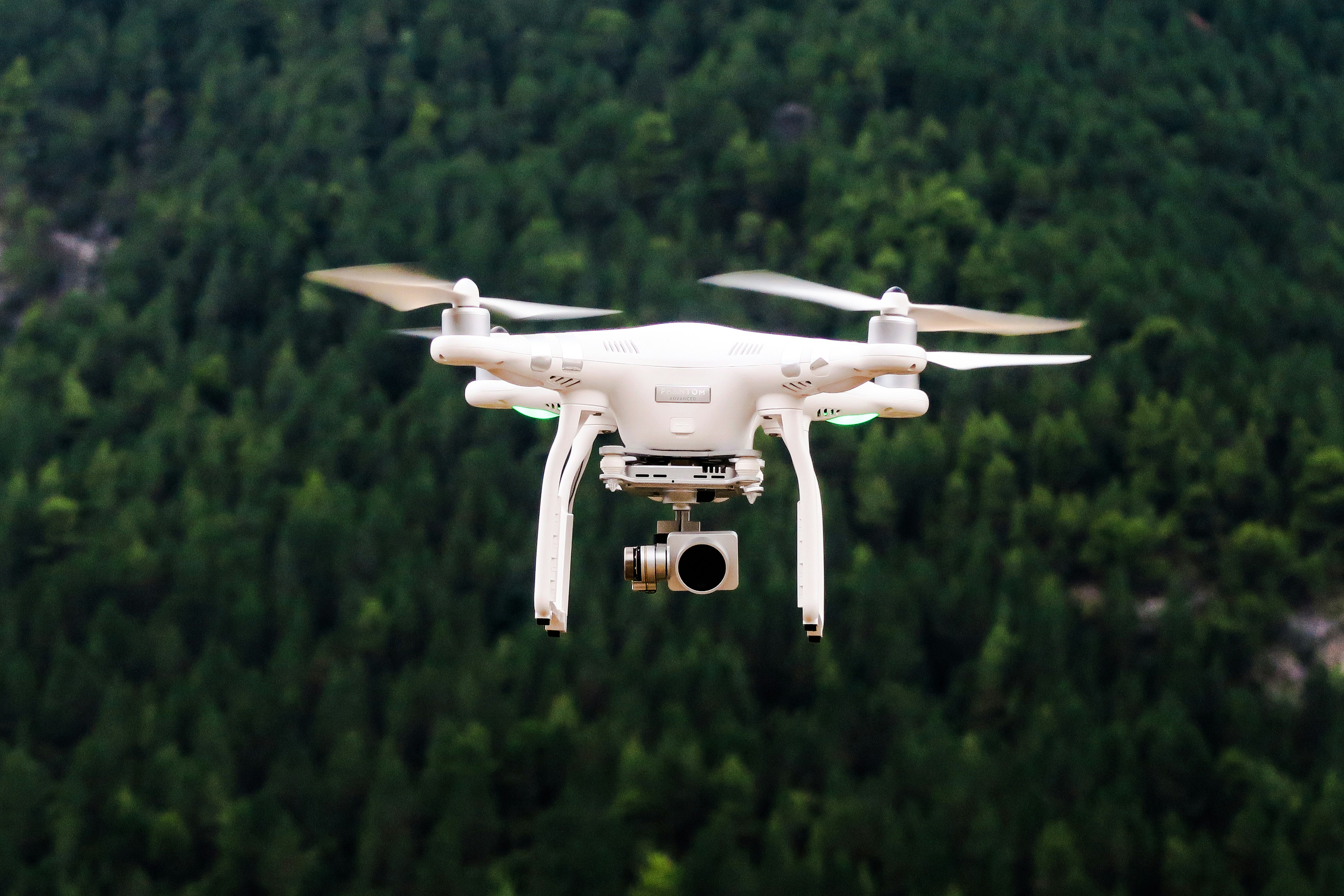
In recent years, the application of drone technology in disaster response has expanded significantly, particularly in the realm of hurricane damage assessment. As hurricanes increase in frequency and intensity, quick and effective damage assessment becomes critical for timely relief and rebuilding efforts.
The Role of Drones in Hurricane Damage Assessment
Drones offer a versatile and efficient means to survey extensive and hard-to-reach areas impacted by hurricanes. Their ability to swiftly capture high-resolution aerial images provides emergency responders with a comprehensive overview of the damage. This not only expedites the process of evaluating affected regions but also enhances the accuracy of the assessments.
Quick Deployment and Accessibility
One of the primary benefits of drones is their rapid deployment capability. Unlike traditional methods which may require substantial time and resources, drones can be operational within minutes, providing immediate visuals of the damage. This is especially beneficial in areas that are otherwise inaccessible due to flooding or debris.
For instance, during Hurricane Michael in 2018, drones played a pivotal role in assessing the damage in Panama City, Florida. Their use allowed responders to quickly identify critical areas in need of immediate aid, thereby accelerating the overall response effort.
Enhanced Safety for Responders
Safety is a paramount concern in disaster scenarios. Drones mitigate the risks faced by human surveyors by accessing hazardous zones, such as collapsed structures or flooded regions, without endangering lives. This technology allows for a more thorough and safer initial assessment, reducing the need for physical presence in dangerous areas.
Technological Advancements in Drone Capabilities
The evolution of drone technology has been remarkable. Modern drones are equipped with advanced sensors, including thermal imaging and LIDAR, which can detect structural weaknesses and hidden hazards that are not visible to the naked eye. This enhances the accuracy of damage assessments and ensures that no area goes unnoticed.
Real-Time Data Transmission and Analysis
Drones facilitate real-time data transmission, allowing for immediate analysis. This capability is invaluable during the critical first hours following a hurricane, where rapid decision-making is essential. Emergency management teams can receive and analyze data as it is captured, enabling a dynamic response that adapts to evolving conditions on the ground.
For detailed governmental resources on hurricane preparedness and response, you can visit the Ready.gov Hurricanes page.
Building Community Resilience with Drones
The integration of drones in disaster response not only improves immediate relief efforts but also contributes to long-term community resilience. By providing detailed pre- and post-hurricane imagery, drones help in planning and implementing more effective mitigation strategies for future events. Community leaders and urban planners can use this data to enhance local infrastructure, ensuring it is more resilient to future hurricanes.
Conclusion
As climate change intensifies and hurricanes become more frequent, innovative solutions like drone technology are essential in optimizing disaster response and recovery. By providing rapid, detailed, and safe assessments, drones play a crucial role in helping communities recover more efficiently from the devastating effects of hurricanes.
HelpNow is committed to enhancing disaster preparedness and response through the adoption of advanced technologies. For more information on our efforts and to get involved, please visit our About page or consider donating to support our initiatives.

