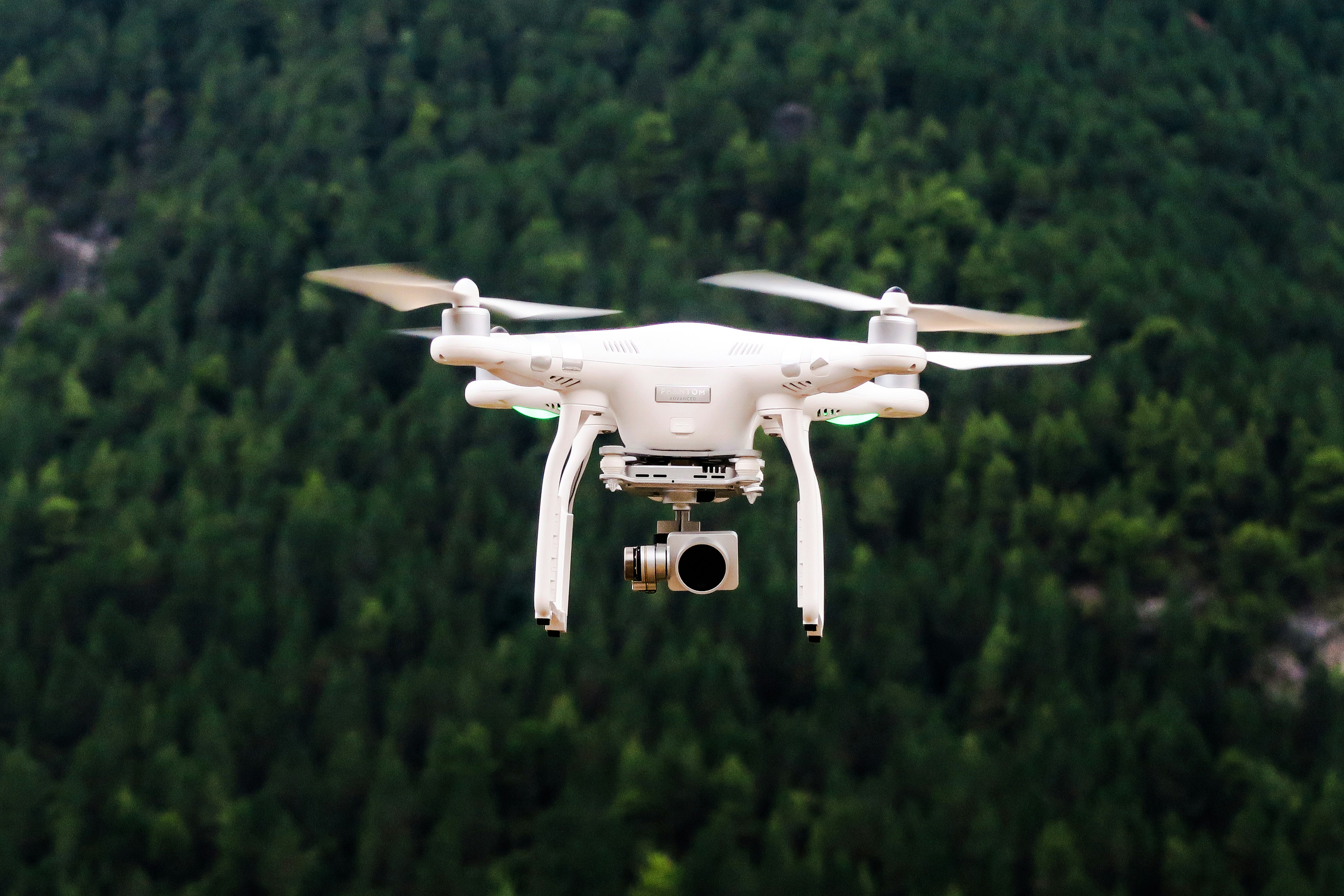
The Rise of Drones in Disaster Management
The increasing frequency and intensity of hurricanes necessitate innovative solutions for effective disaster management. Among these, drones have emerged as a game-changing technology. Capable of rapid deployment and real-time data collection, drones are transforming how we assess and respond to hurricane damage. In this article, we will explore the various ways drones are revolutionizing hurricane damage assessment, thereby enhancing response times and improving safety for affected communities.
Speed and Efficiency in Damage Assessment
Traditional methods of damage assessment can be slow and labor-intensive, often delaying crucial recovery efforts. Drones, however, can cover large areas quickly and provide high-resolution images and videos. This data can be analyzed in real-time to identify the extent of damage, prioritize areas needing immediate attention, and allocate resources more efficiently.
For example, after Hurricane Michael in 2018, drones were deployed to survey the devastated regions of Florida. Within hours, emergency responders had detailed maps highlighting the worst-hit areas, enabling swift action. This level of efficiency is crucial for minimizing the impact of such disasters and accelerating the recovery process.
Improving Safety for Responders
Another significant advantage of using drones for hurricane damage assessment is the enhanced safety for emergency responders. Human teams often have to navigate treacherous and unstable environments post-hurricane, risking their lives. Drones can access these hazardous areas remotely, capturing crucial data without putting human lives in danger.
Drones equipped with thermal imaging cameras can also detect survivors trapped under debris, ensuring timely rescue operations. This technology proved invaluable during the aftermath of Hurricane Harvey in 2017, where drones were instrumental in locating stranded individuals in the flooded regions of Texas.
Comprehensive Data Collection and Analysis
Drones equipped with advanced sensors can collect a wide range of data types, including infrared images, 3D maps, and thermal readings. This comprehensive data collection allows for a more accurate and detailed assessment of hurricane damage. For example, 3D maps can help engineers assess the structural integrity of buildings and bridges, while infrared images can identify areas with water intrusion or electrical hazards.
The data collected by drones can be integrated with Geographic Information Systems (GIS) and machine learning algorithms to predict future damage patterns and enhance preparedness. This predictive capability is invaluable for communities in hurricane-prone areas, allowing them to take proactive measures to mitigate future risks.
Cost-Effectiveness
Deploying drones for hurricane damage assessment is not only efficient but also cost-effective. Traditional methods often involve helicopters, ground teams, and extensive logistical support, all of which can be expensive. Drones, on the other hand, require minimal setup and operational costs. Their affordability makes it feasible for even smaller communities and non-profit organizations to implement this technology.
For instance, the cost of deploying a single drone for a day is a fraction of the cost of using a helicopter, making it a sustainable option for continuous monitoring and assessment.
Case Studies: Successful Drone Deployments
Let’s look at some real-world examples where drones have made a significant impact on hurricane damage assessment.
Hurricane Maria
In 2017, Hurricane Maria caused widespread devastation in Puerto Rico. The rugged terrain and severe flooding made it challenging for ground teams to assess the damage. Drones were deployed to survey the affected areas, providing real-time data that was used to direct relief efforts effectively. The use of drones significantly expedited the damage assessment process, allowing for quicker distribution of aid to those in need.
Hurricane Dorian
During Hurricane Dorian in 2019, drones were used extensively in the Bahamas to assess the damage and identify critical infrastructure that needed immediate attention. The drones provided high-resolution imagery and 3D maps, which were essential for planning the recovery efforts. The success of this deployment highlighted the importance of integrating drone technology into disaster response frameworks.
Challenges and Future Prospects
While the benefits of using drones for hurricane damage assessment are clear, there are challenges that need to be addressed. Regulatory restrictions, limited battery life, and data privacy concerns are some of the hurdles that need to be overcome for widespread adoption.
However, advancements in drone technology and supportive regulatory frameworks are paving the way for broader implementation. The future prospects of using drones in disaster management are promising, with ongoing research focused on enhancing their capabilities and integrating them with other emerging technologies like artificial intelligence and the Internet of Things (IoT).
Conclusion
The use of drones for hurricane damage assessment represents a new frontier in disaster management. By offering speed, efficiency, and safety, drones are transforming how we respond to and recover from hurricanes. As technology continues to advance, the integration of drones into emergency response plans will become increasingly vital. For more information on disaster preparedness and how to get involved, visit our join page.
For additional resources, you may also check out these useful links:
– Hurricane Preparedness Guide
– NOAA Hurricane Central
Stay informed, stay prepared, and let’s harness the power of technology to build resilient communities.

