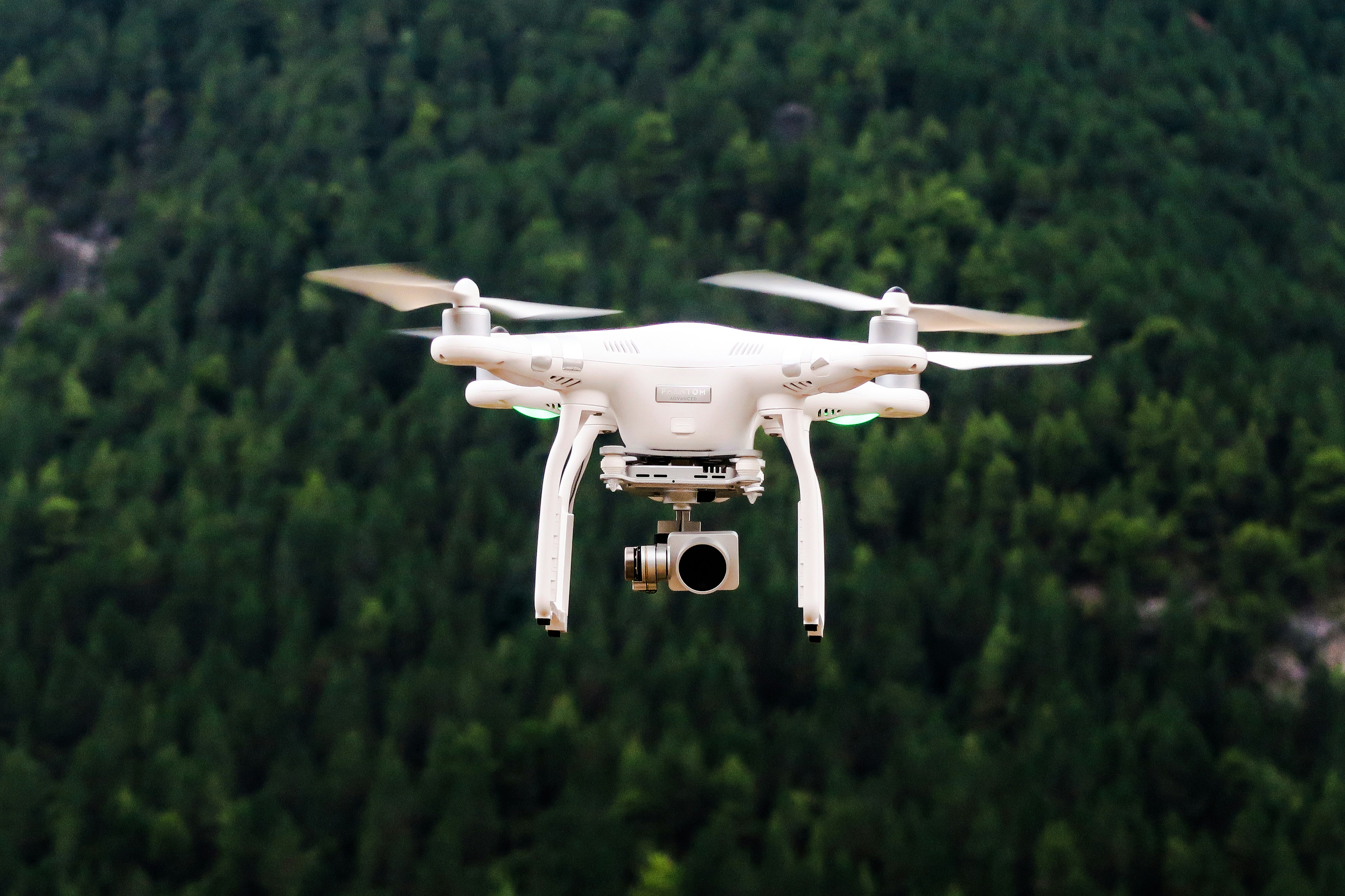
The New Frontier: Drones in Hurricane Damage Evaluation
As hurricanes continue to pose a significant threat, particularly in coastal areas like Florida, the quest for innovative solutions to assess and manage the aftermath becomes more critical. Among these cutting-edge technologies, drones have emerged as a game-changer. By enabling rapid and comprehensive damage assessments, drones are helping authorities and communities enhance their hurricane response efforts.
Why Use Drones for Damage Assessment?
The aftermath of a hurricane often leaves communities in chaos, with disrupted infrastructure and landscapes that can be challenging to navigate. Traditional methods of damage assessment, like ground surveys, are time-consuming and can be hazardous. Drones, however, offer a safer and more efficient alternative. Equipped with high-resolution cameras and sensors, drones can swiftly capture detailed imagery and data from disaster-impacted areas.
Moreover, drones can access remote or severely damaged locations that might be inaccessible to ground teams. This capability allows for a more comprehensive understanding of the extent of damage, helping authorities prioritize efforts in the most affected areas. For a deeper dive into how technologies like drones contribute to disaster readiness, visit the HelpNow About page.
Speeding Up Recovery with Accurate Data
The information gathered by drones can be processed and analyzed in real-time, facilitating faster decision-making processes. This rapid turnaround is crucial for efficient resource allocation and swift disaster response. By providing accurate data on structural damage, debris accumulation, and flooding, drones help emergency teams allocate resources more effectively, ensuring that aid reaches those who need it most.
In addition to immediate response benefits, drone data also supports long-term recovery and rebuilding efforts. The comprehensive imagery and data captured by drones can be used to create detailed maps and models of affected areas. These models help planners and engineers design more resilient infrastructure to withstand future hurricanes.
Real-World Applications
Various case studies demonstrate the effectiveness of drones in hurricane scenarios. For instance, following Hurricane Michael in 2018, drones were employed extensively in Florida to assess damage and aid recovery efforts. The rapid collection and analysis of aerial data allowed for a more streamlined response compared to previous storms.
Drone technology also plays a pivotal role in insurance assessments. With detailed aerial imagery, insurance companies can expedite claims processing, providing much-needed financial relief to affected homeowners and businesses more quickly.
Challenges and Opportunities
While the benefits of using drones for hurricane damage assessment are evident, challenges remain. Regulations regarding drone usage, particularly in restricted or disaster-hit airspace, can complicate deployment. Additionally, the need for skilled operators and analysts to interpret the data remains a barrier in some regions.
Nevertheless, the continued advancement in drone technology, coupled with increasing expertise, presents an exciting opportunity for improving disaster response. Collaborations between government agencies, non-profits, and private sector players are crucial to maximize the potential of drones. For more on collaborative disaster response strategies, explore HelpNow’s membership page.
Future Prospects: Enhancing Hurricane Preparedness
As we look towards the future, integrating drones into hurricane preparedness and response plans will likely become standard practice. Beyond immediate assessment capabilities, drones have the potential to be integrated into early warning systems, providing critical information that can enhance predictive models and inform evacuation strategies.
Moreover, ongoing improvements in drone technology, including longer flight times and enhanced AI-driven analysis, will further augment their utility. This technological evolution aligns with broader efforts to bolster resilience against the growing threat of hurricanes, exacerbated by climate change.
To stay updated on the latest in disaster preparedness and innovative response technologies, subscribe to HelpNow’s newsletter. We are committed to empowering communities with knowledge and resources for effective disaster management.
Conclusion
Incorporating drones into hurricane damage assessment represents a significant leap forward in disaster response capabilities. By providing rapid, accurate insights, drones not only enhance immediate recovery efforts but also contribute to building long-term resilience in hurricane-prone regions.
As technology continues to advance, the potential for drones to transform how we prepare for and respond to hurricanes is immense. With ongoing collaboration and innovation, we can move towards a future where communities are better equipped to face these formidable natural challenges.

